
Big Changes As Next Winter Storm Approaches
As we head into the crux of the Arctic Blast on Valentine’s Day, another winter storm is on the horizon for Presidents Day. This one will start out white but quickly go wet.
A storm system will track to our west which will shift winds to a southerly direction bringing in “milder” air. Snow should spread into Ocean City Monday morning.
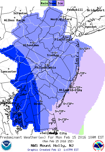
Since temperatures have been below freezing for several days, any snow that falls will quickly accumulate on the roads.
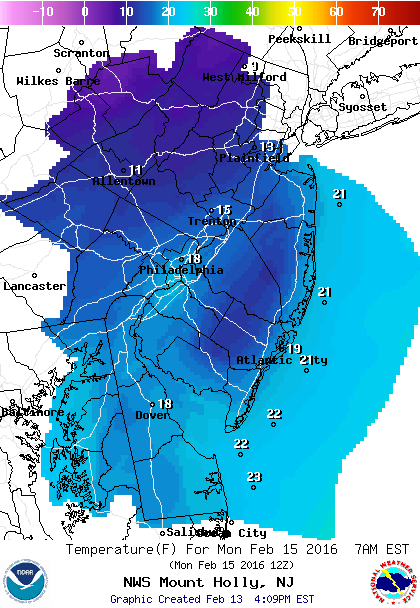
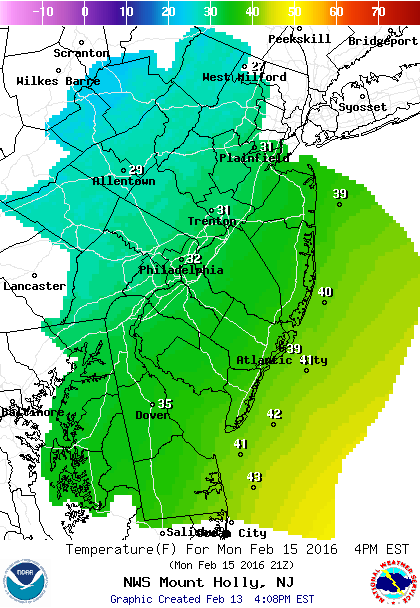
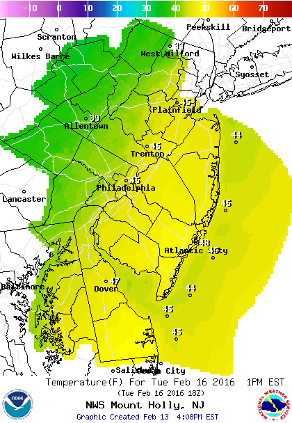
Snow amounts will be less than 1” before a changeover to rain. Temperatures will start in the low 20s early Monday morning then quickly rise to above freezing by noon and eventually into the 40s late Monday.
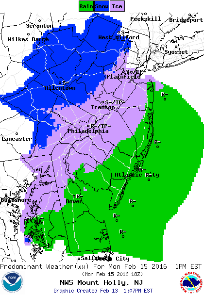
Main impact of the storm will be rain which will be heaviest Tuesday morning.
As a result, expect street flooding, so give yourself extra time as you head out Tuesday morning. It will feel rather “warm” compared to what we are going through this weekend as temperatures could reach 50 degrees on Tuesday.
We can expect total rainfall amounts between 1”-1.5” before ending Tuesday afternoon.
Travel Concerns During the Storm:
Monday morning expect slick roads as the snow is falling and temperatures remain below freezing.
Tuesday morning rain could be heavy which will lead to some flooded streets in poor drainage areas.
By: Harry Holmes


