
By MADDY VITALE
Ocean City officials are expanding a stormwater-mitigation project to include more streets in the Merion Park neighborhood and the area around it, which are vulnerable to flooding during rains and coastal storms.
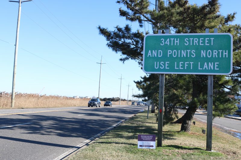
On Oct. 6, City Council approved a resolution for engineering consultant Michael Baker International Inc. to incorporate Cape May County roads in the project. Work at Merion Park would include Roosevelt Boulevard or 34th Street from the bridge up to West Avenue.
The project is expected to begin in the spring.
“This is a stretch of roadway that flooded last week, and the expanded scope of the project will help improve safe access to and from Ocean City during storm events,” Mayor Jay Gillian said in a statement Oct. 7.
The project would involve Cape May County roadways, and the county has agreed to complete the work in conjunction with Merion Park improvements, Gillian said.
Specifically, the new design would include nearby neighborhoods up to 37th Street along with some work near the newly elevated Ocean Aire Condominiums at 43rd Street and West Avenue, he said.
City Business Administrator George Savastano gave a report to Council Oct. 6 about the project and the need to modify the contract to best control and remedy flooding in the area.
“This is to incorporate county work into the city project. I want to assure everyone that this makes sense from an engineering standpoint, to get all the engineering work done now,” Savastano explained. “It makes sense to ensure we get the best product, because the areas abut each other. It won’t slow down the city work. We can phase this work and continue with the city work.”
It’s been years since the first phase of the Merion Park flood-mitigation project. The city finished that portion of the project in 2014.
The first phase included three new stormwater pumping stations, drainage pipes and road reconstruction. Pumping stations intercept floodwater and channel it back into the bay much faster than it would normally take to drain off the streets after a coastal storm, heavy rains or high tides.
Fast forward to 2021, and City Council awarded a consulting contract for conceptual designs for the second phase of Merion Park’s flood-control plan to Michael Baker International. The revised figure approved in the resolution includes the initial fee for the work and the expanded design work, which came to about $434,000 for a total of nearly $760,000.
The second phase of the plan will include three or four new pumping stations with the focus on the 34th Street corridor, according to preliminary plans by Michael Baker International.
Savastano emphasized to Council that the project has been discussed at length by both city and county officials.
“We talked about this for some time. I believe we talked about this at Ward meetings. Councilman (Bob) Barr’s Ward meetings,” Savastano said when addressing Council.
He continued, “I brought it up here previously to Council that I’ve been looking to do this. We have had a number of discussions over the last couple of months with the county. This is the result of the recommendation to proceed with the modification of Michael Baker’s contract.”
Barr, who represents Merion Park as the Fourth Ward councilman, thanked the mayor and his administration for advancing a project to help flood-prone areas in the city’s south end.
“It looks like it’s going to be good for the south end,” Barr said.
Announced during a Town Hall meeting in December of 2020, the city plans to spend $25 million over five years for flood-control projects citywide.
Some improvements will and have included new pumping stations, road construction, drainage systems, berms, retention walls and other measures to prevent stormwater from inundating parts of the low-lying island.


