

A large High Pressure system from Canada will stretch across the Eastern U.S. and keep us quite cold as we head into the weekend. Friday will feature a good deal of clouds with highs remaining in the upper 30s.
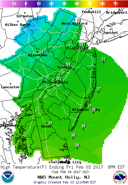
A reinforcing shot of cold air moves in Friday night which will make Saturday the coldest and windiest day of the two. Saturday morning lows will start our around 20 degrees while afternoon highs will approach the mid 30s.
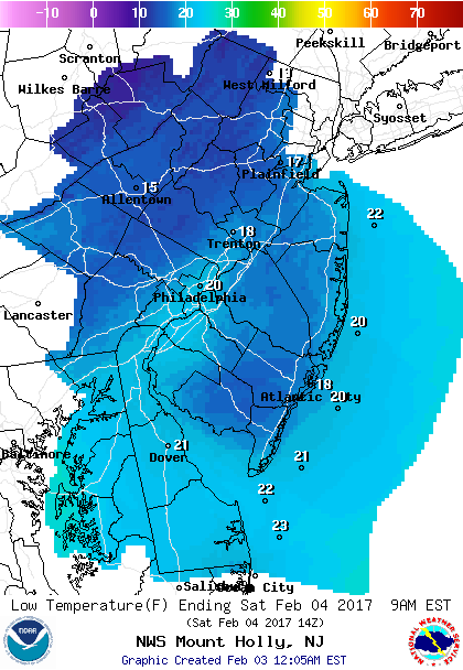 Low Temperatures Saturday morning.
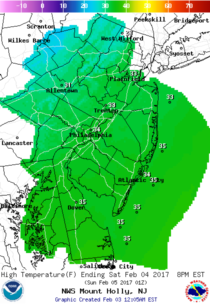 High Temperatures on Saturday.
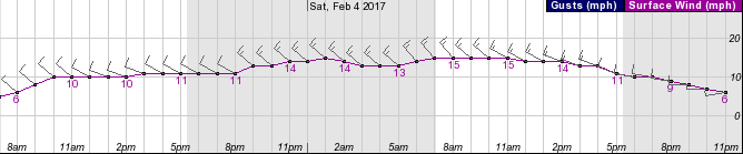 Wind forecast shows increasing NW winds late Friday night into Saturday.
For Sunday, temperatures will rebound ahead of the next front. Moistures will be limited and mostly confined well N&W of our area. So only a small chance of a rain/snow shower with highs in the 40s.
Looking Ahead…
A strong storm system will move through the Great Lakes which will make for a wet Tuesday into Wednesday morning. Since the storm will remain to our west, a surge of mild air will move in. Highs will climb into the 50s especially on Wednesday.
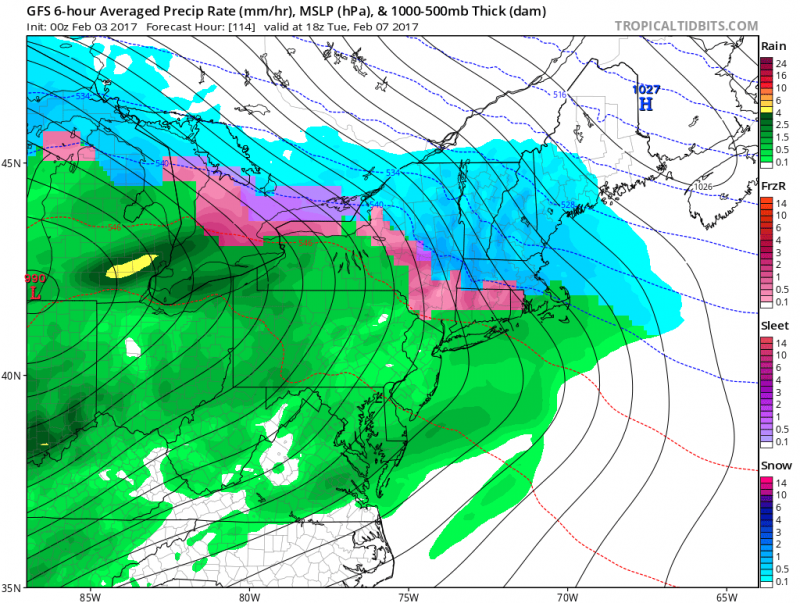 Computer models show wet not white for Tuesday as a storm system moves to our N&W. (Courtesy: tropicaltidbits.com)
Behind the storm, brisk and cold air returns for the end of next week.
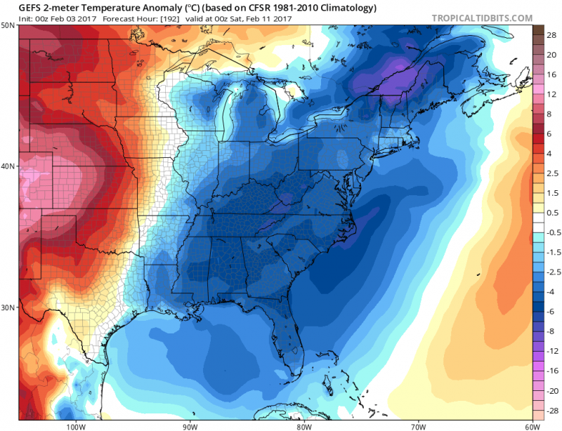 Temperature anomalies for late next week show below normal temperatures. (Courtesy:tropicaltidbits.com)
Overall the pattern through February looks like there will be brief cold shots followed by a return to temperatures above normal (mid 40s to upper 40s/possibly 50+ degrees again). With a faily progressive flow, it will be difficult to see any significant snow events. But we will keep watching for any changes.


