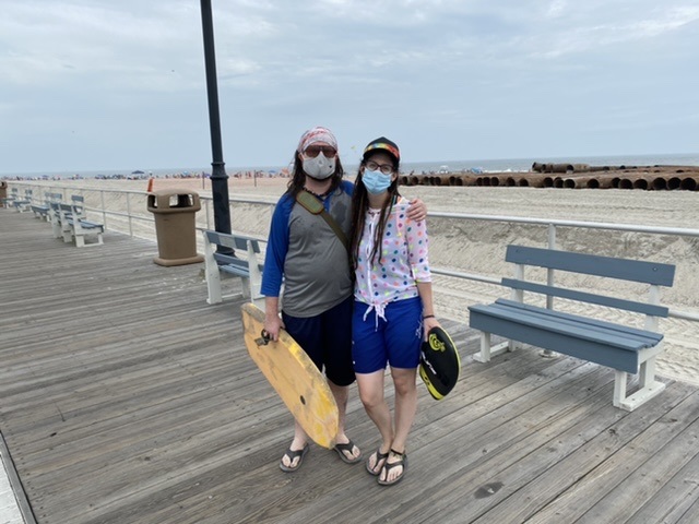
Robert Brown and girlfriend, Adelaide Alfieri, both of Haddon Township in Camden County, cut their day trip short due to the storm.
 By MADDY VITALE and TIM KELLY
As Tropical Storm Isaias takes shape coming up the coast, Ocean City officials are prepared, ensuring residents are informed, drains are cleared, and a plan is in place for a storm predicted to pack a powerful punch.
“As always, we’re hoping for the best, but preparing for whatever Isaias may bring,” Ocean City Public Information Officer Doug Bergen said Monday. “Public Works crews are clearing storm drains, preparing to barricade streets that may flood, and moving sand to shore up dune crossovers.”
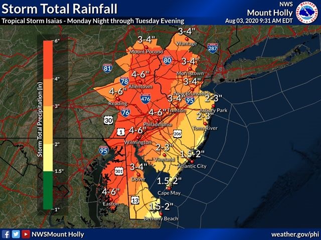
While the storm is expected to pass inland of Ocean City on Tuesday, according to the National Weather Service, the powerful storm could still lash the shore communities.
It threatens to bring two inches of rain to the shore, with winds of 45 mph to 60 mph and gusts up to 75 mph Tuesday morning through Tuesday afternoon.
Mayor Jay Gillian said in a weather alert Monday to the public that people should be prepared.
“We continue to track the system and hope that we are spared the worst of its effects. But this remains a dangerous storm, and any change in its direction could make a dramatic difference here,” Gillian pointed out. “The forecast calls for winds that could gust beyond 70 mph and for rain that could exceed several inches.”
Bergen noted that due to the dangerous storm predictions, the city's beach replenishment operations were halted temporarily.
“The offshore dredge pumping sand onto Ocean City beaches as part of our beach replenishment project moved to safe harbor on Saturday,” Bergen said.
While officials asked people to be prepared for what was to come in the coming days, visible signs of Tropical Storm Isaias, were few and far between on Monday afternoon.
The wind had picked up, causing an occasional beach umbrella to turn inside out. A man chased his baseball cap down the Boardwalk after it had been taken off his head by a gust.
Waves were a bit larger than in recent days, but not big enough to attract more than the usual number of surfers.

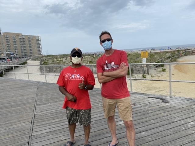
 Asoka Balaratna, left, and Tom Sheibley, brothers-in-law from Pennsylvania, adjust their plans in the wake of the storm.
High tides were expected at 9:30 a.m. Tuesday, and 9:45 p.m. Tuesday.
“Be prepared to move vehicles well in advance of these tides or downpours,” the alert said. “The roads closer to the beach, including Central and Wesley avenues are at higher elevation. These roads also offer the safest routes of travel across the length of the island.”
While the mayor noted in his weather alert that advisories put out by the city warn residents and visitors of potential flooding and other storm-related dangers, people need to heed the warnings.
“Many of you are familiar with these storm advisories, but it’s not too often that they are necessary during the height of the summer season,” Gillian noted. “Please keep an eye out on your neighbors and our guests and help them with anything they need and with directing them to safe parking.”
On July 10, the area saw the impact of Tropical Storm Fay, which unleashed winds and rains and caused flooding to Ocean City and other areas along the coast.
Unlike Fay, however, Tropical Storm Isaias is predicted to come with stronger winds, more rains and potentially cause tidal flooding.
Officials emphasized that this coming storm could be dangerous.
Over recent years the city has installed new drainage throughout the city to ameliorate some of the flooding caused by storms.
Pumping stations have also been installed on the island, including one at 30th Street.
Bergen explained that the pumping stations, in addition to improvements to the infrastructure, have created noticeable improvements.
“The pumping stations have made a dramatic difference in quality of life for residents in the neighborhoods where they have been installed,” Bergen said.
However, he stressed that the pumping stations are not a complete fix for major weather events.
“They cannot prevent all tidal flooding or flooding from excessive rainfall in short periods of time,” he said. “They do help move that water off the streets much more quickly once the tides recede or the rain stops.”
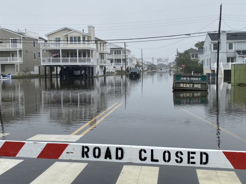
 Flooding in Ocean City, seen here during Tropical Storm Fay on July 10, is a major threat with Tropical Storm Isaias.