 By MADDY VITALE
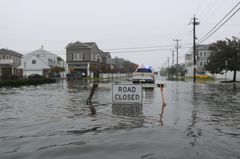
Ocean City officials, under Mayor Jay Gillian, have improved the infrastructure to reduce flooding and drainage problems on the low-lying barrier island existing for decades.
Although there has been an aggressive approach to mitigate flooding throughout the town, there is still more that needs to be done, explained Ocean City Flooding Committee members during a public informational session at the library Saturday afternoon.
Some issues discussed at the forum included why Ocean City floods, how it can be mitigated and what could city officials and residents do in partnership to fight the problem. There were also details about flood insurance and how the community can share flooding data using an app.
“The city has worked really hard in the most severe parts and fixed areas,” said Suzanne Hornick, head of the flooding committee.
The area around 30th Street and Haven Avenue has not seen bad flooding since the city elevated the road and repaired drainage pipes, she said.
Hornick noted that while residents can’t actually fix the roads and neighborhoods, their voices can and should be heard.
“Nuisance flooding, we can do something about,” she said, adding that the public needs to speak out about their areas and their flooding issues.

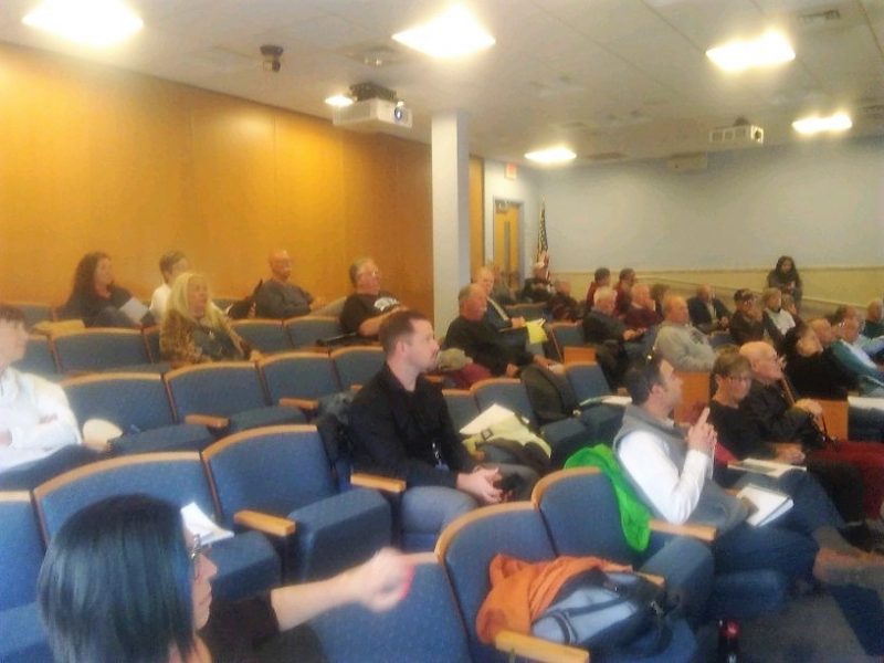
Attendees listen to featured speakers discuss flooding.
Julia Kumari Drapkin, CEO and founder of ISeeChange.org, was one of several speakers during the program.
Her focus was on how the community can use an app developed by her company to detail flood conditions along with sharing a photo.
The goal is to compile information block by block in communities and create a formal record -- or an account of the flooding anecdotes -- that could be viewed by city officials, engineers and other experts.
Drapkin, of New Orleans, said her hometown has similarities to Ocean City when it comes to flooding issues.
She said because of posts by members of the Ocean City Flooding Committee on ISeeChange.org she came to Ocean City.
“Because of the posts and action we have seen in Ocean City, we are here,” Drapkin said.
Drapkin noted that traditional flooding models fail to account for block by block irrigation issues in neighborhoods.
Residents, she said, are needed to complete the full picture, providing details about the flooding in their specific areas.
“We call it Community Source Data. It begins as individuals. We channel the natural powers of residents. We take your stories and data and put in context. We treat it as a more longer term, formal record.”
The information is then provided to engineers, scientists and officials, she added.
“We believe stories are the missing data when it comes to traditional conditions,” Drapkin said.
Her organization has been working with Hornick and her group.
What they are seeing is flooding is caused sometimes by a little rain in Ocean City.
“Plain rain is causing flooding and a surprisingly little .77 inches of rain in a storm and there is flooding,” Drapkin said.
Drapkin said the city’s work to mediate the problem is working in areas around town, especially with the pumping stations in the most affected areas.
“Right now, things are working. We have some successes, but it is important to keep a record,” she said, adding that when things don’t work, they will understand why and determine how to lessen flooding.
"Every block counts. Every block is different,” she said.

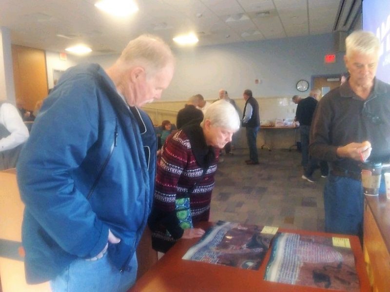
Residents view flood maps during a break.
ISeeChange.org is working with engineer and hydrologist, Dr. Thomas Herrington. Herrington, of Ocean City, is a professor at Monmouth University. He was also a featured speaker at the forum.
Herrington explained some of the reasons why it floods in Ocean City and took the attendees back in time to explain some of the issues with the topography, geography, tidal changes and even the effect of more coastal storms than ever before.
He also spoke about how the public needs to alert officials if they see or experience flooding.
“Sea level has been rising for the past 100 years and the island has been sinking, so sea level is getting closer to our streets,” Herrington explained. “We also are seeing more rain events along the Atlantic Coast and with the sea level inching up, we have a higher probability of high tide rain events.”
Herrington continued, “Our location, our geography, the water table is quite high. If you dig a hole in Ocean City -- the water table is right there. The other factor is we are very flat. The highest point of the island is the crest of the sand dunes.”
Another speaker, Ocean City resident Donna Moore, an OCFC member, described some of the dangers of pesticides and how it is vital to keep them out of the water supply to protect people and marine life.
Other scheduled speakers included Michael McMahon, claims manager of McMahon Insurance, who was present to answer questions about flood insurance.
OCFC member Ric Bertsch talked about the importance of attending zoning and planning board meetings.

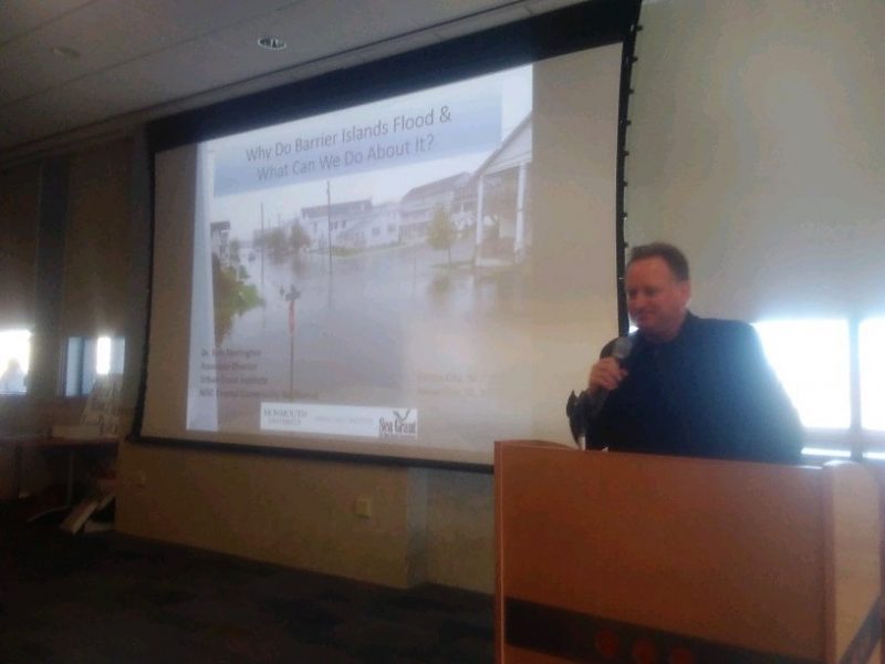
Dr. Thomas Herrington, of Ocean City, explains the reasons why flooding is problematic for coastal communities.
 By MADDY VITALE
Ocean City officials, under Mayor Jay Gillian, have improved the infrastructure to reduce flooding and drainage problems on the low-lying barrier island existing for decades.
Although there has been an aggressive approach to mitigate flooding throughout the town, there is still more that needs to be done, explained Ocean City Flooding Committee members during a public informational session at the library Saturday afternoon.
Some issues discussed at the forum included why Ocean City floods, how it can be mitigated and what could city officials and residents do in partnership to fight the problem. There were also details about flood insurance and how the community can share flooding data using an app.
“The city has worked really hard in the most severe parts and fixed areas,” said Suzanne Hornick, head of the flooding committee.
The area around 30th Street and Haven Avenue has not seen bad flooding since the city elevated the road and repaired drainage pipes, she said.
Hornick noted that while residents can’t actually fix the roads and neighborhoods, their voices can and should be heard.
“Nuisance flooding, we can do something about,” she said, adding that the public needs to speak out about their areas and their flooding issues.
 Attendees listen to featured speakers discuss flooding.
Julia Kumari Drapkin, CEO and founder of ISeeChange.org, was one of several speakers during the program.
Her focus was on how the community can use an app developed by her company to detail flood conditions along with sharing a photo.
The goal is to compile information block by block in communities and create a formal record -- or an account of the flooding anecdotes -- that could be viewed by city officials, engineers and other experts.
Drapkin, of New Orleans, said her hometown has similarities to Ocean City when it comes to flooding issues.
She said because of posts by members of the Ocean City Flooding Committee on ISeeChange.org she came to Ocean City.
“Because of the posts and action we have seen in Ocean City, we are here,” Drapkin said.
Drapkin noted that traditional flooding models fail to account for block by block irrigation issues in neighborhoods.
Residents, she said, are needed to complete the full picture, providing details about the flooding in their specific areas.
“We call it Community Source Data. It begins as individuals. We channel the natural powers of residents. We take your stories and data and put in context. We treat it as a more longer term, formal record.”
The information is then provided to engineers, scientists and officials, she added.
“We believe stories are the missing data when it comes to traditional conditions,” Drapkin said.
Her organization has been working with Hornick and her group.
What they are seeing is flooding is caused sometimes by a little rain in Ocean City.
“Plain rain is causing flooding and a surprisingly little .77 inches of rain in a storm and there is flooding,” Drapkin said.
Drapkin said the city’s work to mediate the problem is working in areas around town, especially with the pumping stations in the most affected areas.
“Right now, things are working. We have some successes, but it is important to keep a record,” she said, adding that when things don’t work, they will understand why and determine how to lessen flooding.
"Every block counts. Every block is different,” she said.
 Residents view flood maps during a break.
ISeeChange.org is working with engineer and hydrologist, Dr. Thomas Herrington. Herrington, of Ocean City, is a professor at Monmouth University. He was also a featured speaker at the forum.
Herrington explained some of the reasons why it floods in Ocean City and took the attendees back in time to explain some of the issues with the topography, geography, tidal changes and even the effect of more coastal storms than ever before.
He also spoke about how the public needs to alert officials if they see or experience flooding.
“Sea level has been rising for the past 100 years and the island has been sinking, so sea level is getting closer to our streets,” Herrington explained. “We also are seeing more rain events along the Atlantic Coast and with the sea level inching up, we have a higher probability of high tide rain events.”
Herrington continued, “Our location, our geography, the water table is quite high. If you dig a hole in Ocean City -- the water table is right there. The other factor is we are very flat. The highest point of the island is the crest of the sand dunes.”
Another speaker, Ocean City resident Donna Moore, an OCFC member, described some of the dangers of pesticides and how it is vital to keep them out of the water supply to protect people and marine life.
Other scheduled speakers included Michael McMahon, claims manager of McMahon Insurance, who was present to answer questions about flood insurance.
OCFC member Ric Bertsch talked about the importance of attending zoning and planning board meetings.
 Dr. Thomas Herrington, of Ocean City, explains the reasons why flooding is problematic for coastal communities.