Ocean City streets saw flooding Sunday afternoon.
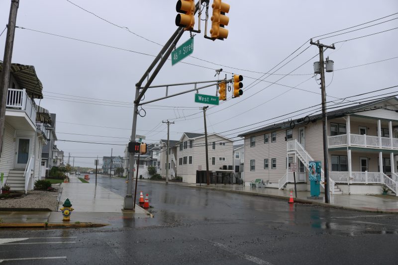 The National Weather Service has issued a Coastal Flood Warning in effect for Ocean City through 2 a.m. Monday, Sept. 10. A Coastal Flood Watch remains in effect for Monday.
Strong northeast winds will push water and rough surf toward the coastline during higher-than-normal new moon tides on Sunday. Forecasters also predict periods of heavy rain.
Water levels are expected to peak in the hours around high tide on the bay side of Ocean City at the following times (with predictions on the mean low water scale):
8:50 p.m. Sunday (6.6 feet MLW)
9:19 a.m. Monday (6.3 feet MLW)
9:37 p.m. Monday (6.0 feet MLW)
Visit www.ocnj.us/octides to compare those predictions to recent and historic tide levels.
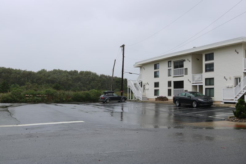
Water pooled on the streets and in parking lots along the bayside of the streets.
Street flooding is likely prior to high tide and may last for several hours. Vehicles should be moved from areas that typically experience tidal flooding. The roads closer to the beach including Central and Wesley avenues are typically at higher elevation. Parking will be available at the Trinity United Methodist Church at 20 North Shore Road in Marmora.
For your safety and the protection of your vehicle and neighboring properties, never attempt to drive through flood waters, and do not drive around barricades. City crews are out clearing storm drains in advance of the storm, but storm preparation can include making sure inlets near your home are clear of debris.
The National Weather Service has also issued a High Surf Advisory for Sunday.
For Police and Fire Department emergencies call 911. For non-emergencies call 609-399-9111.
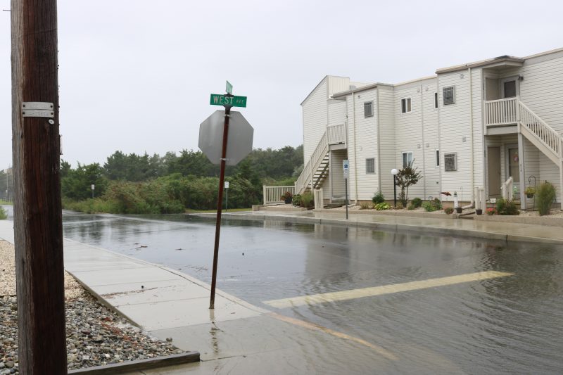
Some areas of West Avenue were more flooded than others.
 The National Weather Service has issued a Coastal Flood Warning in effect for Ocean City through 2 a.m. Monday, Sept. 10. A Coastal Flood Watch remains in effect for Monday.
Strong northeast winds will push water and rough surf toward the coastline during higher-than-normal new moon tides on Sunday. Forecasters also predict periods of heavy rain.
Water levels are expected to peak in the hours around high tide on the bay side of Ocean City at the following times (with predictions on the mean low water scale):
8:50 p.m. Sunday (6.6 feet MLW)
9:19 a.m. Monday (6.3 feet MLW)
9:37 p.m. Monday (6.0 feet MLW)
 Water pooled on the streets and in parking lots along the bayside of the streets.
Street flooding is likely prior to high tide and may last for several hours. Vehicles should be moved from areas that typically experience tidal flooding. The roads closer to the beach including Central and Wesley avenues are typically at higher elevation. Parking will be available at the Trinity United Methodist Church at 20 North Shore Road in Marmora.
For your safety and the protection of your vehicle and neighboring properties, never attempt to drive through flood waters, and do not drive around barricades. City crews are out clearing storm drains in advance of the storm, but storm preparation can include making sure inlets near your home are clear of debris.
The National Weather Service has also issued a High Surf Advisory for Sunday.
For Police and Fire Department emergencies call 911. For non-emergencies call 609-399-9111.
 Some areas of West Avenue were more flooded than others.