
It was your chance to ask the experts Thursday evening as a local Meteorologists and Emergency Managers gathered at the Ocean City Music pier for the 2016 Cape-Atlantic Severe Weather Conference. Unlike most conferences, the audience was able ask questions and express their issues with forecasters and emergency management. It is no coincidence this conference was held during the peak of hurricane season. This is an important time of year to reinforce the importance of being prepared for a storm.
The panel of guests included meteorologists Kathy Orr(FOX29), Jim Eberwine(NWS), Joe Miketta(NWS), forecaster Jonathan Carr(WeatherNJ), and Emergency Managers Vince Jones(Atlantic County), Martin Pagliughi(Cape May County), Frank Donato(Ocean City), and Vince Maione(AC Electric).
Ocean City Emergency Management coordinator, Frank Donato, opened up the conference with a list of the most recent storms since 2008 that affected Ocean City. Basically, raising the issue that more intense storms have been occurring over the last several years compared to the previous 20 to 30 years. While questions were asked whether this was a result of climate change, the panel of meteorologists did not want to speculate. However, they did admit changes have occurred recently that have caused storms to become more intense. As far a sea level rise occurring due to climate change, Meteorologist, Jim Eberwine stated that while the sea level was slowly rising due to warming, our land is slowly sinking as well. As a result, the frequency of coastal flooding has increased.
It came to no surprise that the majority of questions were about the recent inaccurate forecast of Hermine. Due to the storm hitting on the last weekend of the summer season, it forced visitors to leave early or not come to the shore at all. As a result, it hurt the local economy. But as emergency management officials stated last night, safety was most important. Not only was it difficult forecast but with the storm hitting on a holiday weekend, emergency management officials had to deal with more people and cars on the island.
What seemed to surprise the audience was the issue with the lack of buoys off the East Coast which becomes problematic to meteorologists when forecasting marine weather. In fact, there is only one buoy in the local forecast area. Joe Miketta of the National Weather Service stated the reason for the lack of buoys is that it would be too costly to install and maintain them over time.
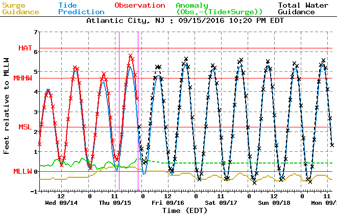
As a resident on a barrier island, nothing is more important during a storm then following the wind direction, moon phase and the tide. This will help you know how bad flooding can be. There was a lot of interest from the audience on where you can find this information. On this site, it also lists the highest tides on record. To monitor the tide levels on the bayside of Ocean City here.
However, the gauge in Ocean City does not show forecast levels. The only two local gauges that show forecast tide levels are Atlantic City (Steel Pier) and Cape May. Located here.
The panel did express their concern for complacency the next time a storm threatens the New Jersey coast. Similar to what happened after Irene. Evacuations and storm preparations were all for nothing as Irene skirted the coast in 2011 and damage was minimal. The following year, Sandy approached, less people evacuated and damage was extensive. In the end, Meteorologists and Emergency Management officials will continue to face challenges forecasting and informing the public. Forecasting will continue to improve and we will learn from the past. But it will never be perfect, weather is an inexact science.


