
Hurricane Matthew is causing life-threatening conditions as the category 4 storm with winds of at least 145 mph bares down in Haiti and Eastern Cuba. Besides the strong devastating winds, life-threatening flash floods and mudslides are expected with as much as 15-25 inches of rain with localized amounts of 40″ will occur.
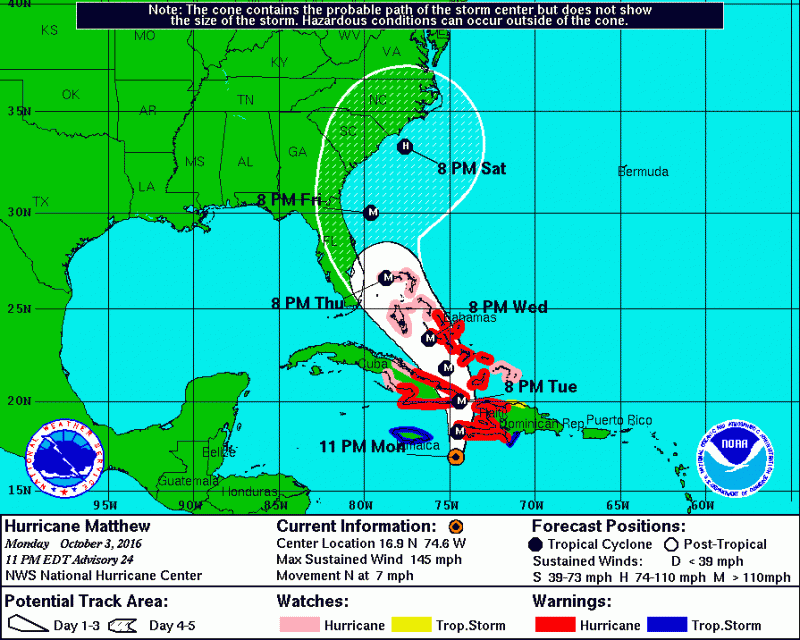
Once Matthew makes it through Cuba it will move through the Central and NW Bahamas. A ridge of high pressure will bend Matthew toward the Southeast U.S. coast later this week. The trend over the last few days has brought Matthew’s future track dangerously close to the Southeast Coast.
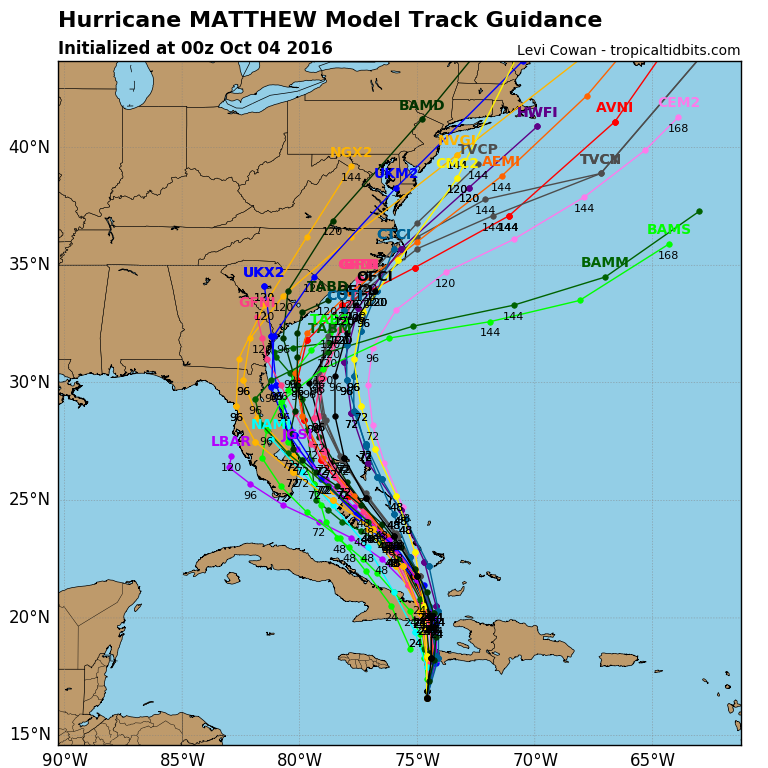
Latest computer models are continuing to bring Matthew up the coast at a faster pace skirting along the Florida coastline and possibly making landfall along the Carolinas.
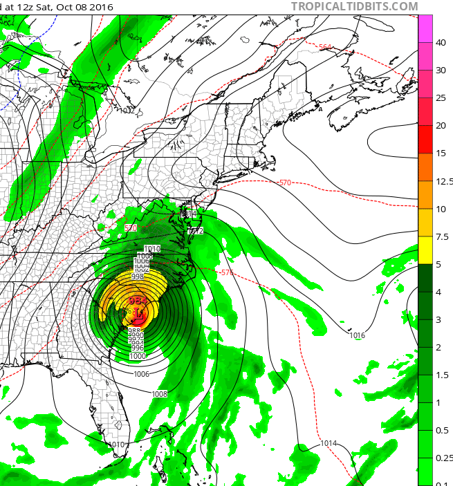
A trough will pick up Matthew will take it northeast. Any landfall will weaken Matthew before it re-emerges offshore and moves east of Ocean City. Depending on how close Matthew passes offshore will determine what are impacts are.
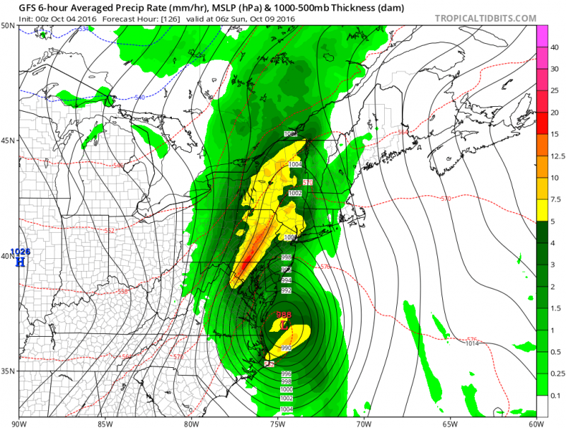
Regardless, rough surf, rip currents and possible beach erosion is expected for Ocean City this weekend. If Matthew passes closer to the coast, we could see heavy rain, possible storm force winds and tidal flooding. Unfortunately, if current computer models verify, rain and increasing wind will develop in our area sometime on Saturday which would jeopardize Ocean City’s Annual Fall Block Party. We will continue to monitor Matthew as the week progress.


