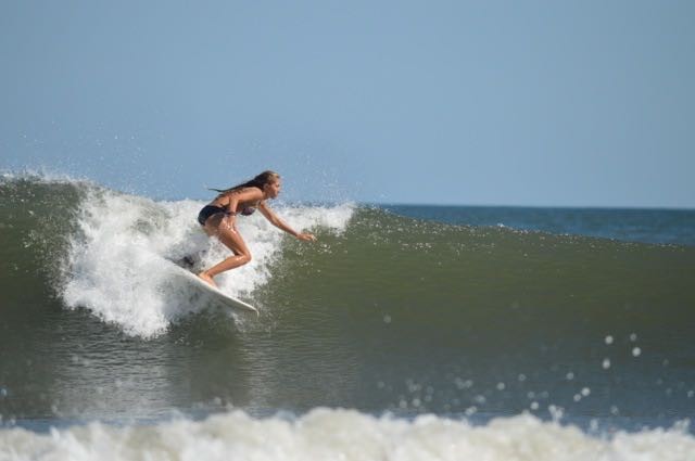
At about this time last summer, surfers were enjoying the overhead waves generated by Hurricane Cristobal on his path across the open water of the Atlantic Ocean.
They already had seen a rare July 4 swell from Hurricane Arthur and some more good surf from Tropical Storm Bertha in early August.
This year, the first really big waves of the summer are yet to be ridden. But after a quiet start, the tropics are starting to heat up and the wait is on.

Surfing in New Jersey, like everywhere else, is a study in meteorology, prayer and patience. Surfers up and down the coast bookmark weather sites and wait for low-pressure systems to move up the Atlantic.
If you’re able to leave your responsibilities behind and react quickly to passing storms, New Jersey can deliver a surprising number of surf days — particularly in late-August, September and October.
So after three weak tropical storms (including one in early May) earlier this summer, there was a bit of hope when Hurricane Danny reached Category 3 status on Friday deep in the Atlantic Ocean. But that system is now just a tropical rainstorm continuing to weaken in the northern Caribbean.
The next longshot: Tropical Storm Erika.
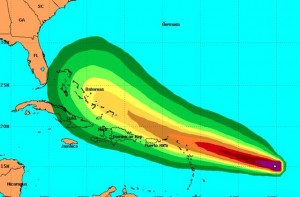
The storm is following a path similar to Danny’s, though it could move a bit farther north and strengthen as it heads possibly toward Florida or the southeastern states (still too early to tell where exactly she’s headed). That scenario would not likely deliver waves to New Jersey. Swell generated by storms passing too close to the Southeast are typically buffered by the Carolinas.
New tropical waves are moving off the coast of Africa — the breeding ground for most of our hurricanes — so there’s still hope that Fred, Grace or Henri could send their waves from a safe distance out at sea.


