Harry Holmes
A Series Of Storms Expected For The Holidays
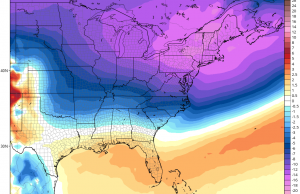
Christmas is almost here and even though we aren't expecting a white Christmas, a fairly stormy pattern is setting up coupled with very cold air that will be locked into our area Christmas week. This could spell a threat of some wintry weather before the year is out.
First, a storm system will be moving in for the first half of the weekend. Temperatures will be flirting near 60 on Saturday, so occasional rain is expected to damper any last minute shoppers. The best chance of getting wet could be in the morning and again in the late afternoon and evening hours...
Say It Ain’t Snow!
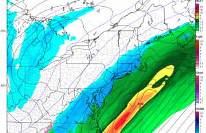
Looks like our first snow of the season is coming a little early. A coastal storm will develop along a frontal system offshore and begin to spread moisture over us on Saturday. Meanwhile, cold Canadian air will be moving in at the same time making it cold enough for mainly snow to fall during the event. Computer models have trended closer to the coast over the last several days which increases our chances of some accumulating snow. The ocean temperatures are still quite “mild” which could also cause some mixing as well...
Winter Blast To Start The Weekend
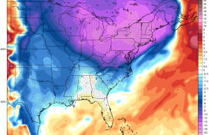
Bundle up! An early Canadian blast of cold air has settled in and temperatures are expected to drop below freezing for the first time this season. Highs will only reach the low 40s on Friday but cold northwesterly winds gusting to 30mph at times will make it feel like in the low 30s during the day...
Jose Meanders Offshore, Maria Next?
Jose will continue to spin well off NJ coast which will keep battering the beaches through the weekend. Moderate tidal flooding will still be a problem Wednesday morning during high tide...
Jose Will Affect Our Area On Tuesday
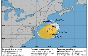
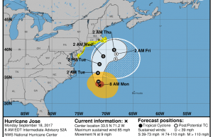
Jose will pass well east of the NJ coast but the effects will still be felt in Ocean City. Jose looking more like a Nor'easter than a Hurricane, will make for a windy and wet Tuesday. As a result, a tropical storm watch is posted for the entire NJ coast for the potential of tropical storm force gusts. Even though Jose will pass over 200 miles offshore, it will be close enough to give us a some rain and gusty winds for Tuesday...
Jose Could Get Too Close For Comfort Next Week
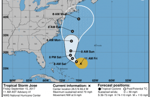
Jose has been spinning out in the Atlantic for over 10 days caught between systems. As we move into the weekend, the upper air pattern will finally decide Jose's final path. Computer models have been showing that Jose would be far enough the coast to avoid any significant impacts to our coast. However, latest computer runs have been indicating that Jose could get close enough to get more than just rough surf and rip currents...
Irma To Strike Florida This Weekend, What Does It Mean For...
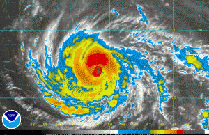
Major Hurricane Irma is set to strike Florida this weekend and move up the coast. The big question is...what does it mean for us? The track of Irma will ride along the Florida coast or directly through the middle of the state. Irma will take some time to wind down and could still remain a hurricane by the time it reaches Georgia. Irma will weaken further as it moves deep into the Southeastern U.S. Heavy Rain and hurricane force gusts are possible even up into Atlanta...
Major Hurricane Irma Threatens East Coast
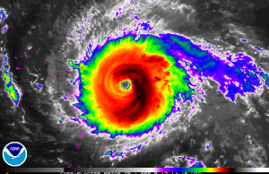
Hurricane Harvey was the first major hurricane to strike the U.S. Mainland in over 10 years and now we are faced with possibly another major hurricane striking the U.S. This time it could be the East Coast. While we are still days away from determining if and where Irma will strike, last computers models are not printing a pretty picture. Hurricane Irma already a major hurricane is forecast to strengthen even further before it gets closer to the U.S. Computer models are showing high confidence that Irma will affect parts of the Northern Leeward Islands Tuesday and then continue to track towards the Bahamas by the end of the week...
Sunny 2nd Half Of The Weekend
A rare summertime coastal storm is set to strike our area later Friday into Saturday with periods of heavy rain and flooding. This storm, similar to a fall or winter-like Nor'easter will track across the Mid-Atlantic and intensify offshore.
Flash Flood Watch is in effect for the potential for 2-5" of rain which will cause street flooding. You should avoid parking in the usual flood prone streets.
The heaviest rain will arrive late Friday and continue through Early Saturday morning...
Threat of T’Storms Possible for Night In Venice
It's that time of year again for the annual Night in Venice and we will be crossing our fingers hoping the weather will cooperate the parade and fireworks. The good news is that temperatures on Saturday will not be as hot, but high humidity remains. The bad news is that we run the risk of the potential of severe t'storms Saturday night...


